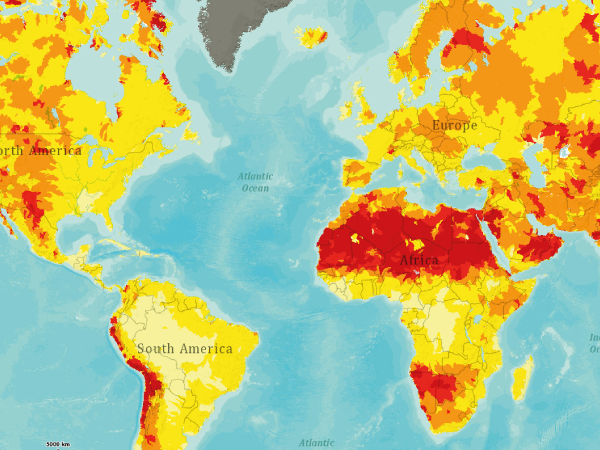
Hazard maps are essential tools long used to identify and communicate the geographic areas that can be affected by naturally occurring events, such as volcanic eruptions, tsunami, and earthquakes. This presentation examines how hazard maps have evolved through time as well as the literature describing their effectiveness in communicating risk to the general public. A new effort funded by the Natural Environment Research Council (NERC) seeks to improve hazard communication in Central America through the creation of risk maps–visual representations not only of geological hazards but also of physical and social vulnerability. This multidisciplinary project relies on input from geosciences, social sciences, and humanities to create a new class of visual tools to more effectively communicate risk to the public.
YACHAY TECH SCHEDULE

The State of the Hazard Map

Luke Bowman, Ph.D.
Hazard maps are essential tools long used to identify and communicate the geographic areas that can be affected by naturally occurring events, such as volcanic eruptions, tsunami, and earthquakes. This presentation examines how hazard maps have evolved through time as well as the literature describing their effectiveness in communicating risk to the general public. A new effort funded by the Natural Environment Research Council (NERC) seeks to improve hazard communication in Central America through the creation of risk maps–visual representations not only of geological hazards but also of physical and social vulnerability. This multidisciplinary project relies on input from geosciences, social sciences, and humanities to create a new class of visual tools to more effectively communicate risk to the public.