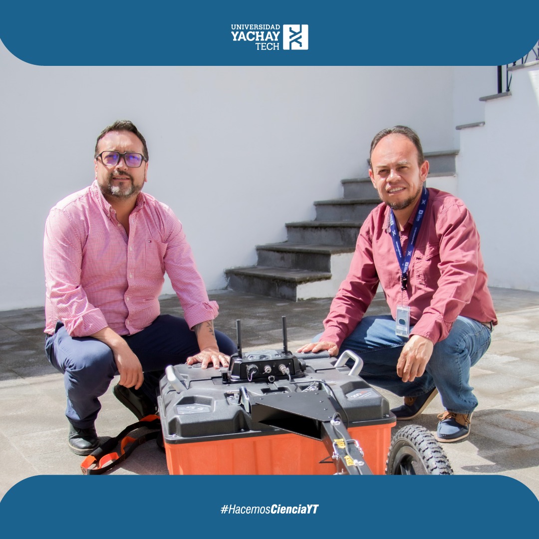
LATEST GENERATION GEORADAR FOR GEOPHYSICAL AND GEOLOGICAL INVESTIGATION AT THE SCHOOL OF EARTH SCIENCES, ENERGY AND ENVIRONMENT

Yachay Tech University worked with the United States Embassy to purchase a georadar that will allow for geophysical investigation to determine different areas of archaeological sensitivity for conservation purposes. This is all part of the project “Safeguarding the Caranqui Cultural Heritage in Northern Ecuador”, financed by the Embassy of the United States in Ecuador.
The equipment purchased by the School of Earth Sciences, Energy and Environment emits and receives electromagnetic waves with a frequency of 200 MHz, making it possible to study up to 20 meters deep in the subsoil. Additionally, this technology improves signal-to-noise performance and increases penetration depth in all soil conditions, making it ideal for geophysical, geotechnical, and environmental applications.
The georadar will be used by faculty and students of Yachay Tech for the geophysical study and determination of different zones of archaeological sensitivity within the project “Safeguarding the Caranqui Cultural Heritage in Northern Ecuador”. This project is one of the main emblematic projects of YT, and will allow the treatment of archaeological assets, the preservation of the collection of more than 58,000 items that belong to the Caranqui culture, and the visibility of research at the service of the community.
The rector of YT, Andrés Rosales, PhD., expressed his content with the purchase of the georadar and highlighted its importance as faculty and students can work optimally and make their research visible at the service of the community.
Thanks to its advanced technology, the georadar allows you to obtain a clear image of what is below the surface in a matter of minutes, which makes it ideal for geological and geophysical studies in areas such as archaeology, geomorphology, risk management, study of aquifers in communities and geotechnics, among others.
Particularly, demarcating aquifers for the supply of water to communities is a crucial process that requires the identification of specific areas that contain sufficient and high-quality groundwater to meet the needs of the population. The Georadar is a valuable tool in this process, since it allows for a more precise and efficient identification and characterization of aquifers.
At Yachay Tech University, we are constantly working on continuous improvement through the purchase of high-tech equipment that allows faculty and students to carry out research more effectively and generate high-impact results.